
Transnistria Russian-occupied region of Moldova 2025
Moldova 46.84° N 29.63° E
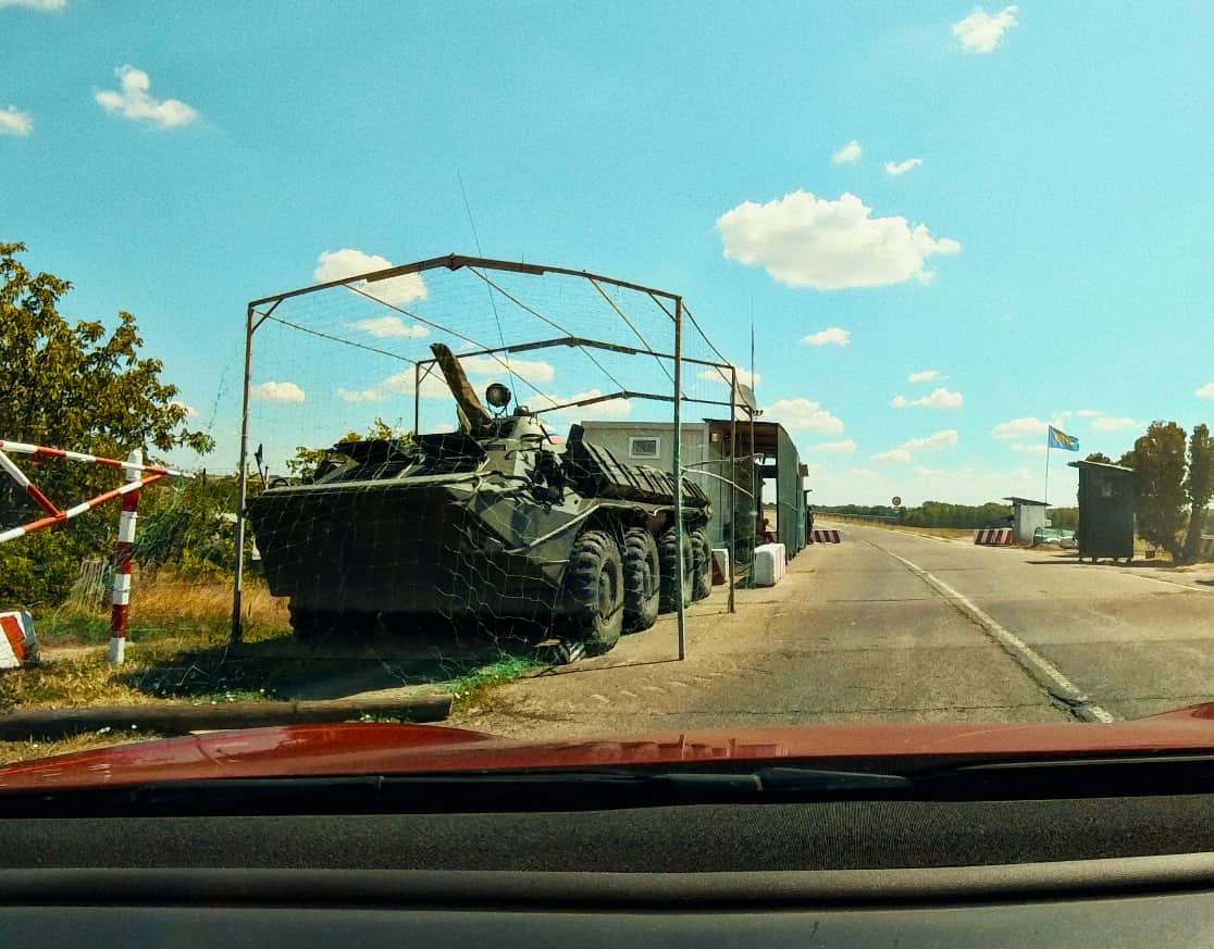
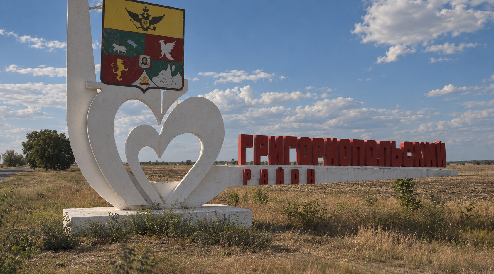
Between Moldova and Ukraine, I documented a territory frozen between Soviet memory and an uncertain present — through its streets, monuments and everyday life.
FilmmakerVideographerEditor
Ukraine
50.43° N 30.56° E
Map data © OpenStreetMap contributors · Elevation: SRTM (NASA)


From the filmUkraine, 2023–2026
Much of my work begins with curiosity: going somewhere unfamiliar, and filming what I find there.
Each one has shaped the way I see, and film, the world.
On location
Along the Green Line
United Nations Buffer Zone
35.17° N 33.36° E
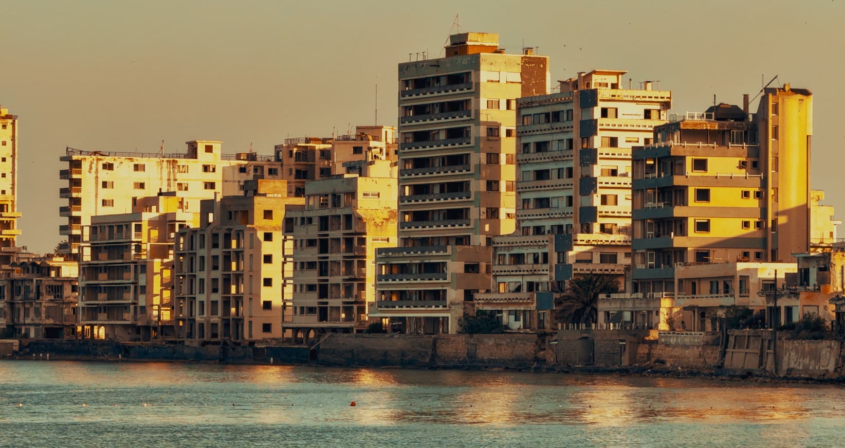
With my camera, I followed the line that has divided Cyprus for half a century — documenting the places, landscapes and traces of history that remain along it.
35.13° N 33.94° E
01Famagusta
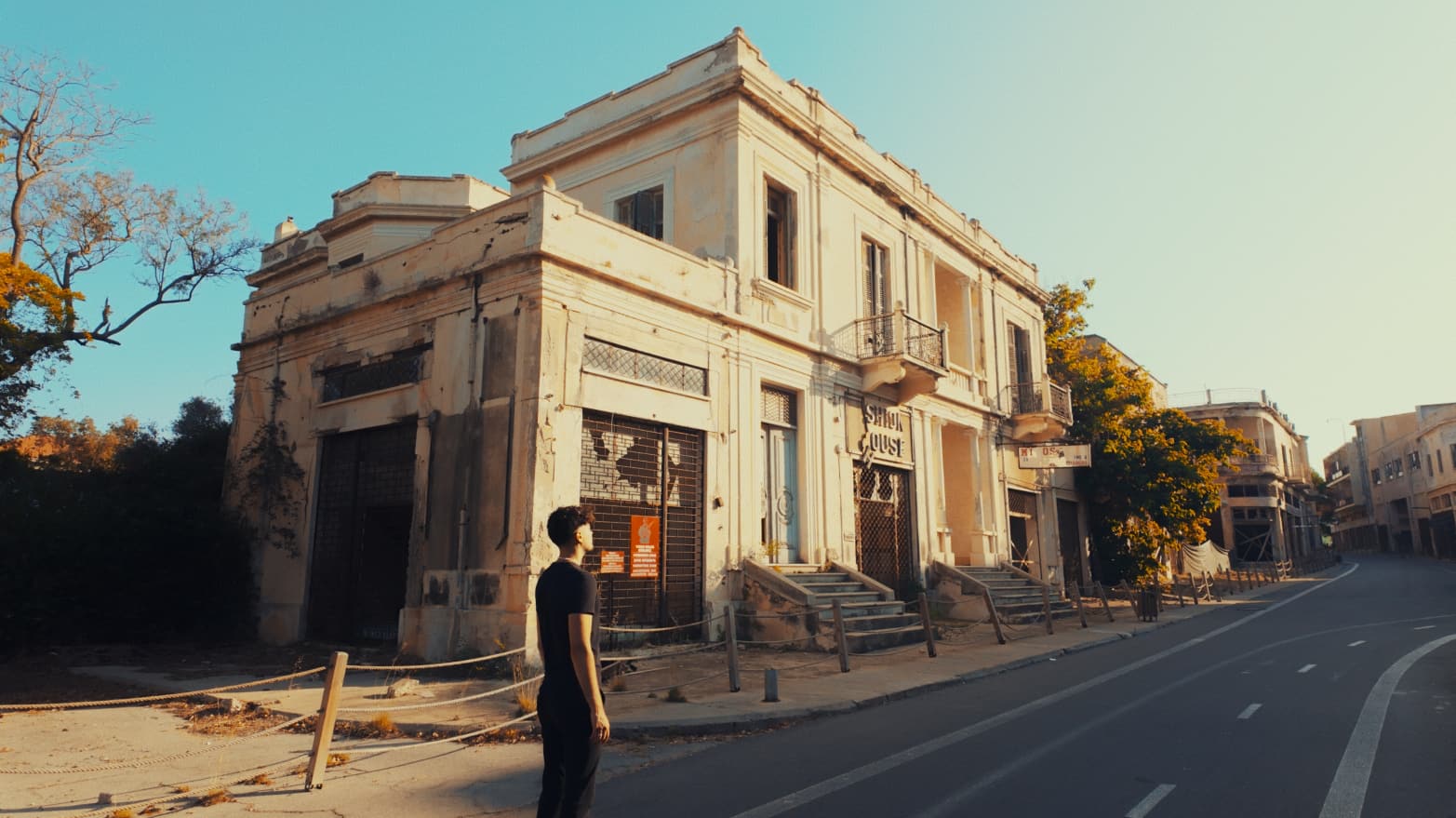
02Famagusta
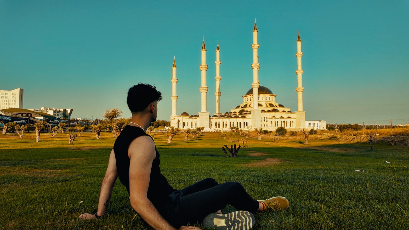
03Towards Nicosia
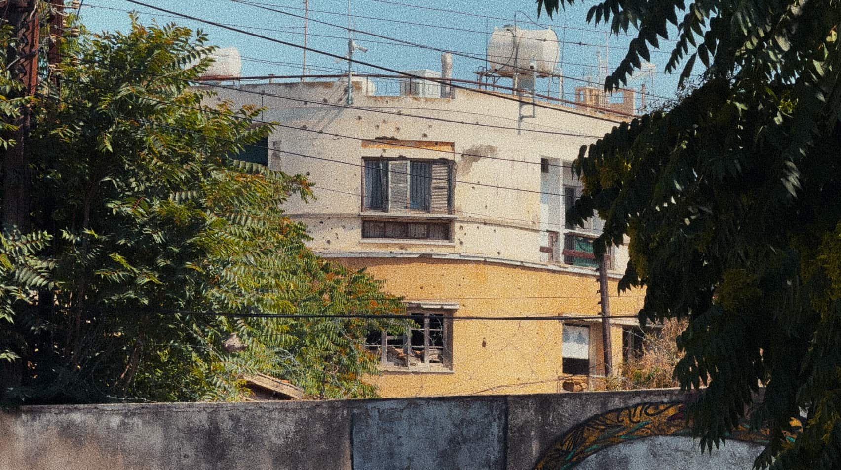
04Nicosia
Europe's last divided capital.
The Green Line runs through the city, separating the areas controlled by the Republic of Cyprus — an EU member state — from the Turkish Cypriot-administered north, recognized as a state only by Turkey.
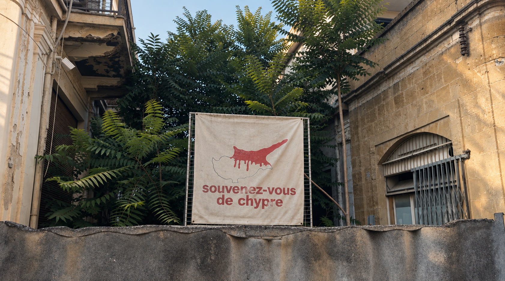
05Nicosia
Map data © OpenStreetMap contributors
Moldova 46.84° N 29.63° E
Between Moldova and Ukraine, I documented a territory frozen between Soviet memory and an uncertain present — through its streets, monuments and everyday life.
Malaysia
1.34° N 103.59° E
[One or two sentences about this project.]

01[Project title]

02[Project title]

03[Project title]

04[Project title]

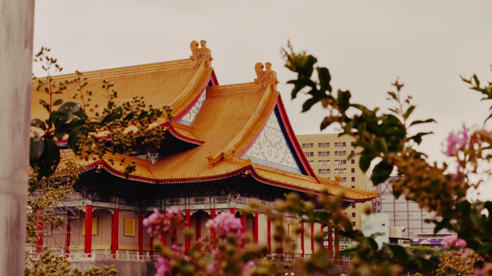
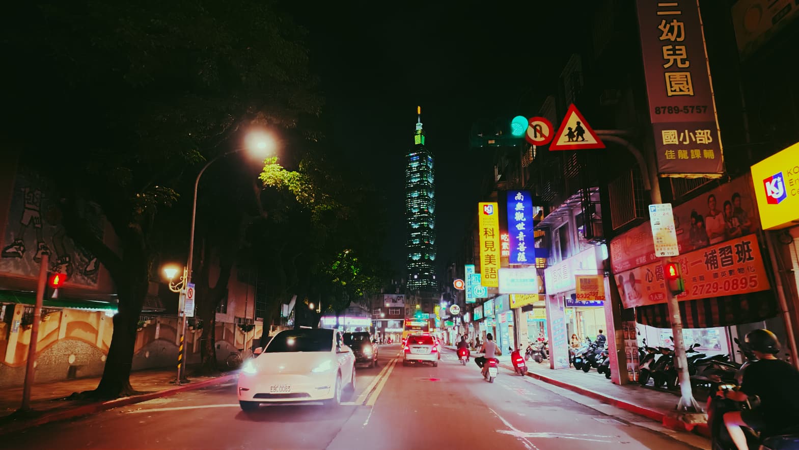
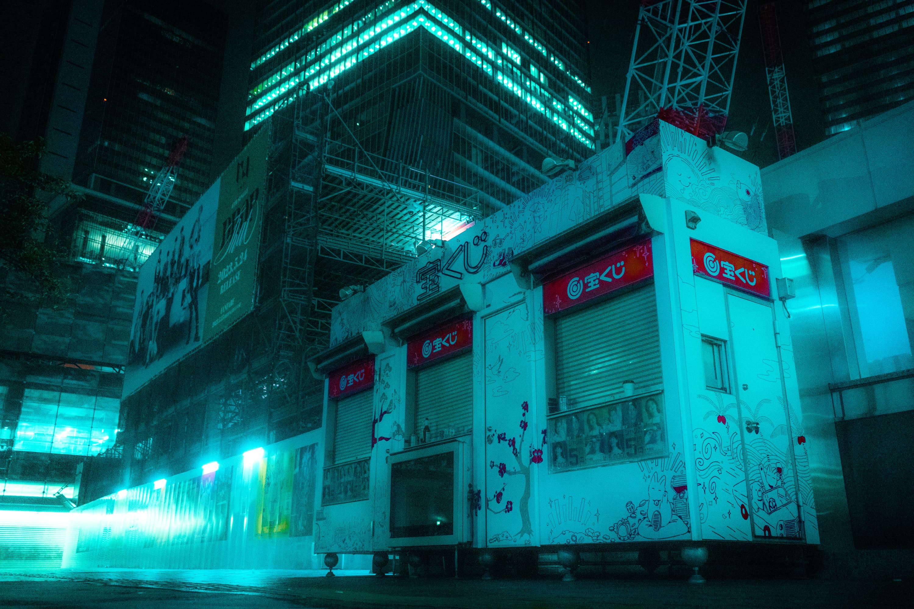
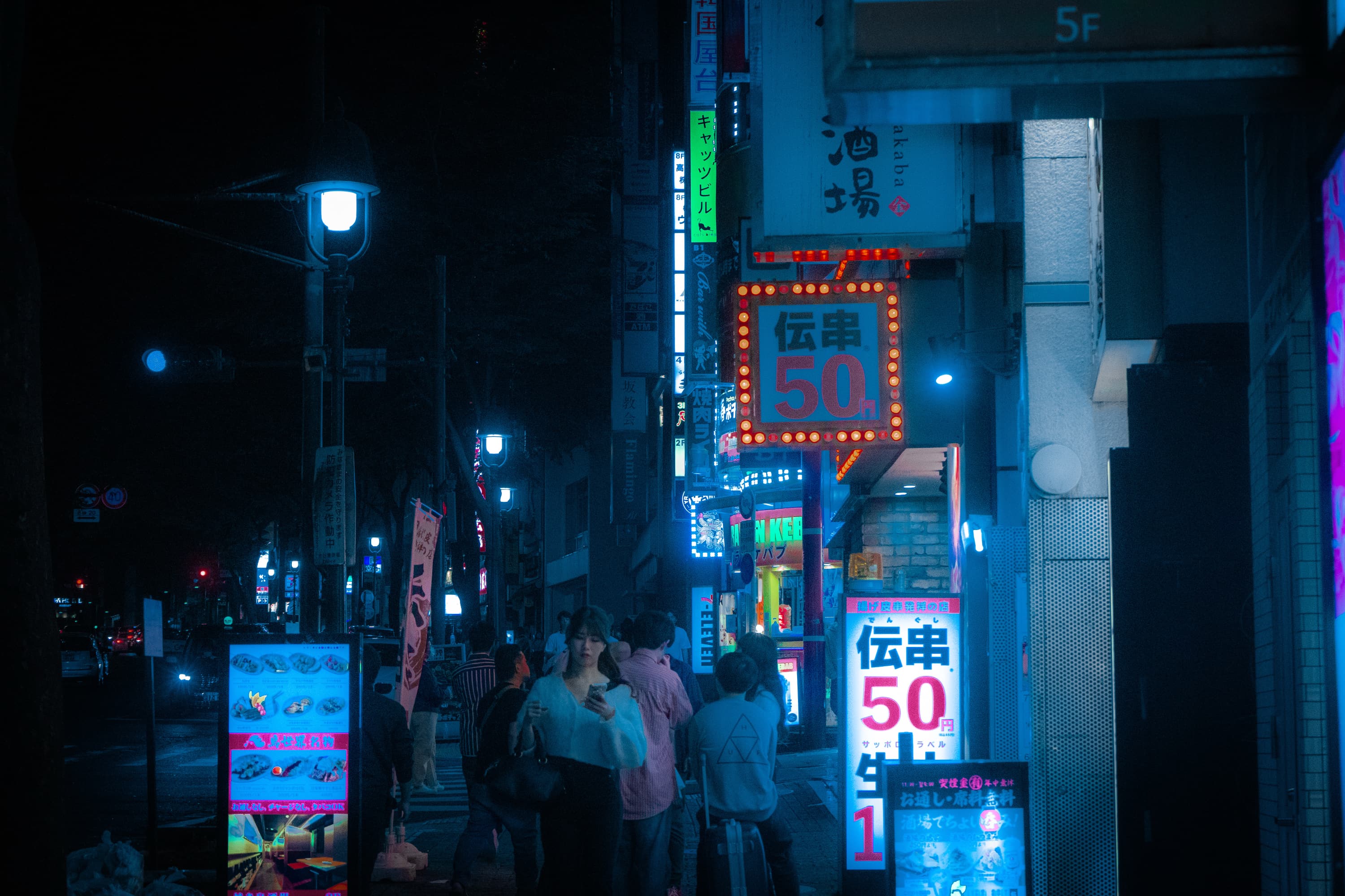
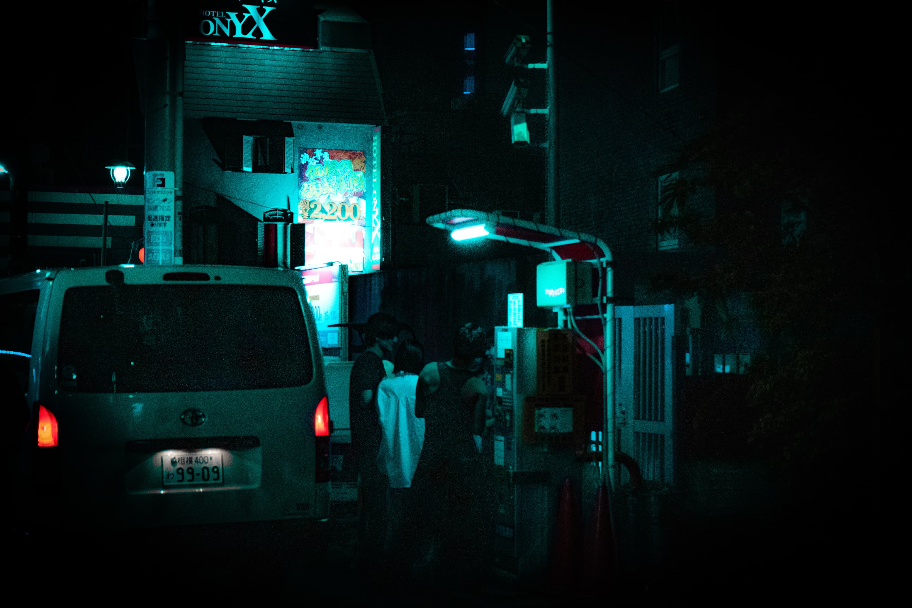
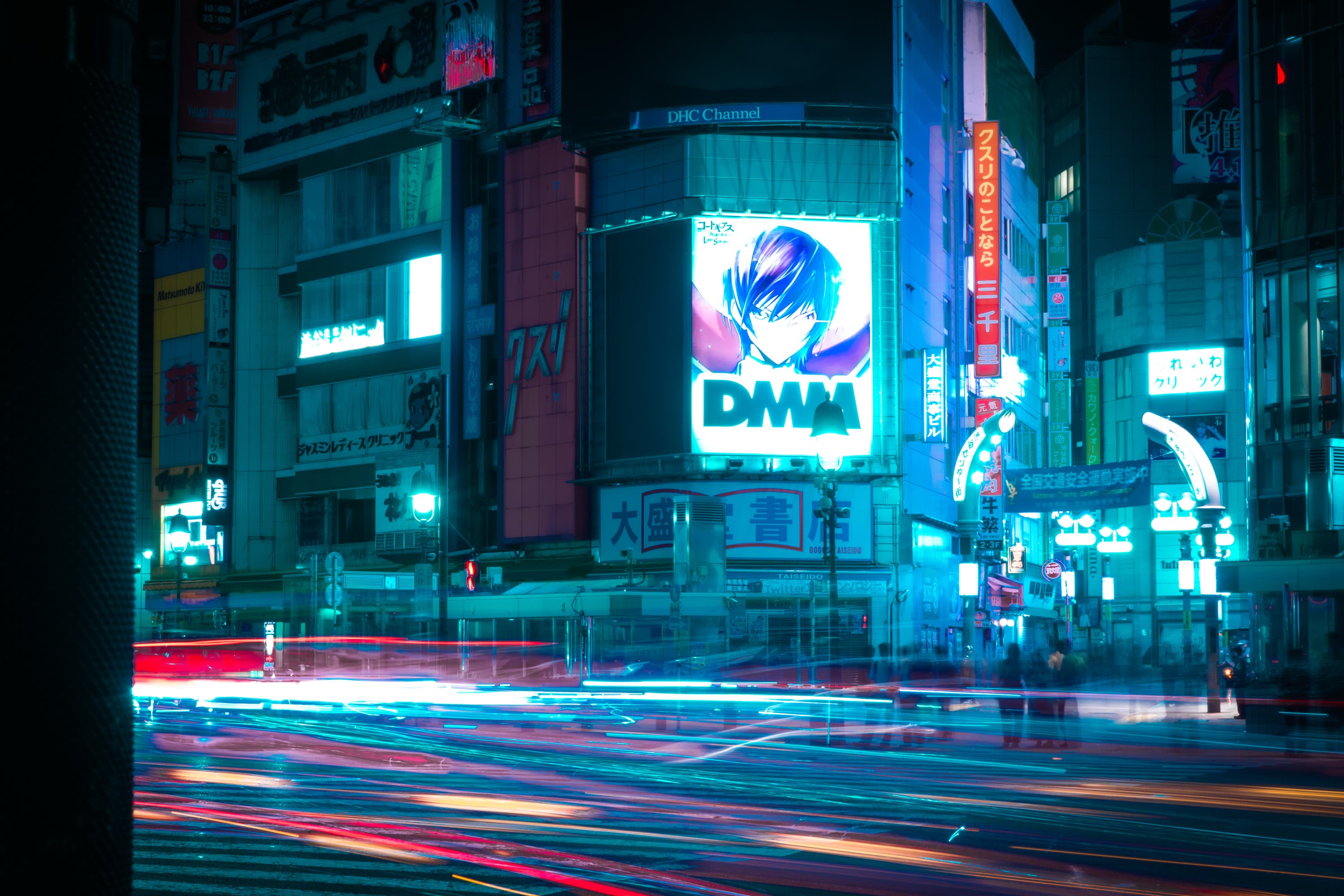
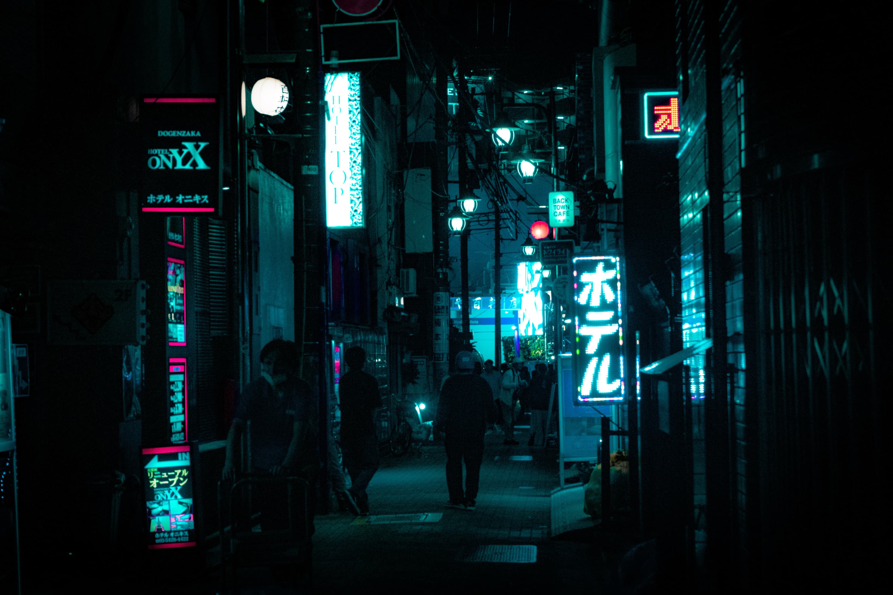
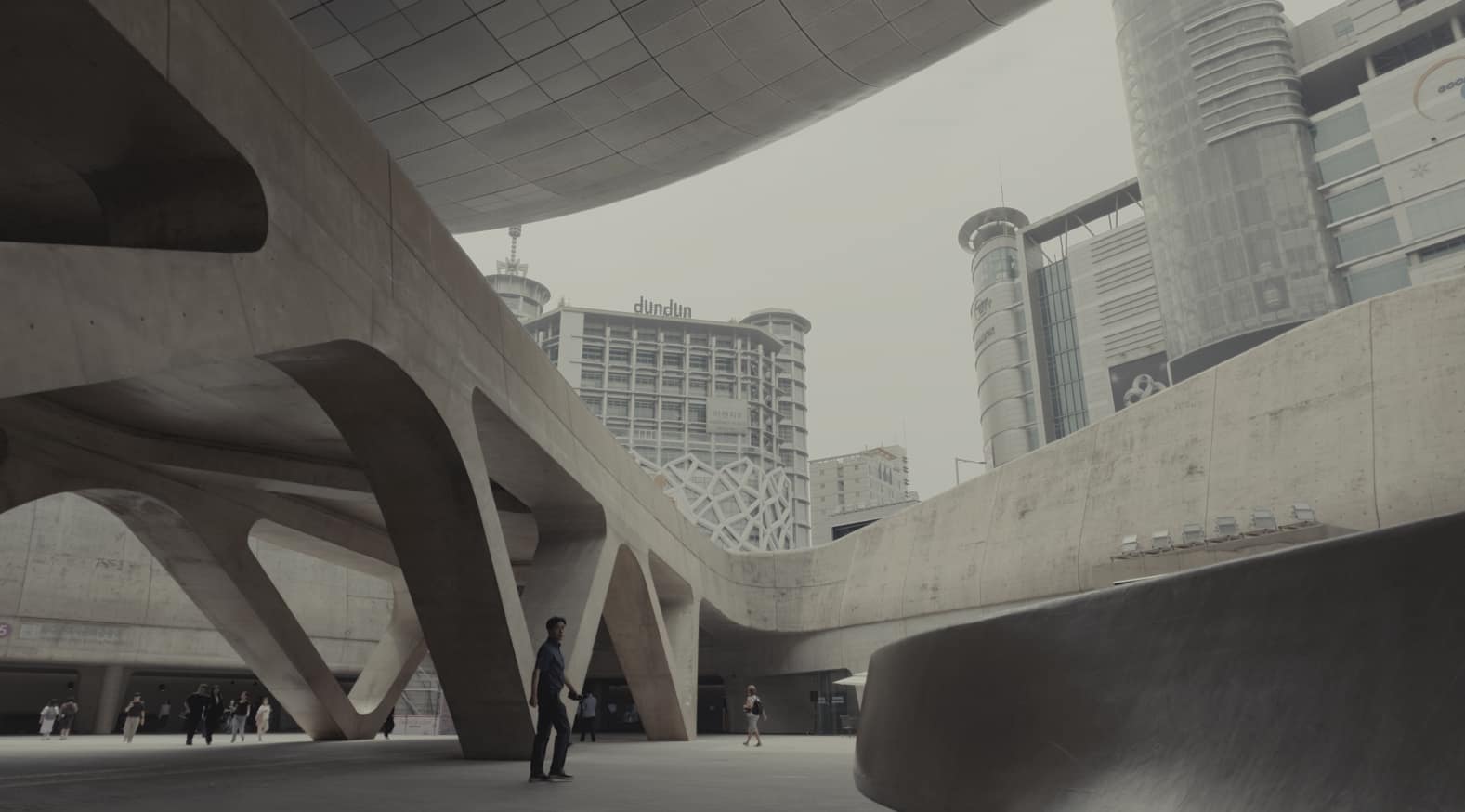
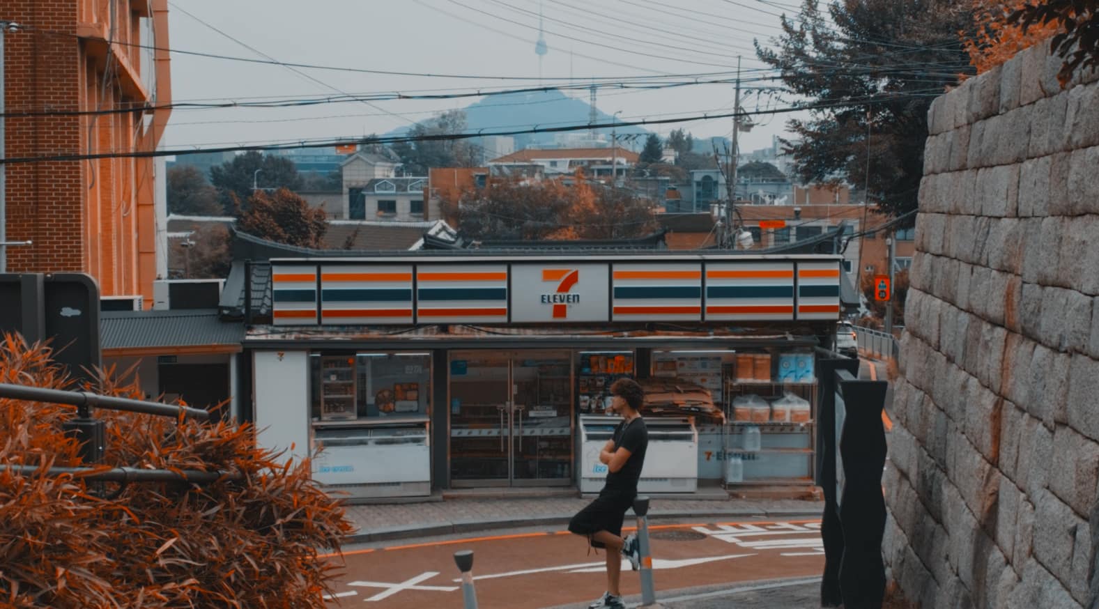
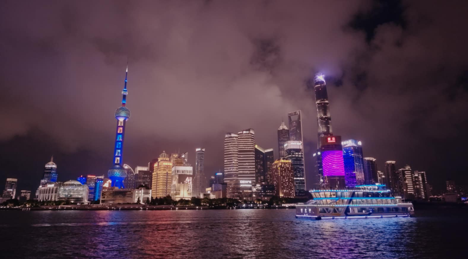
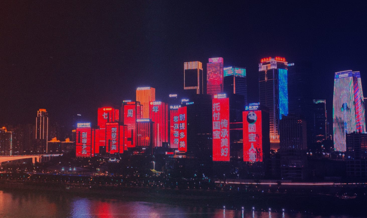

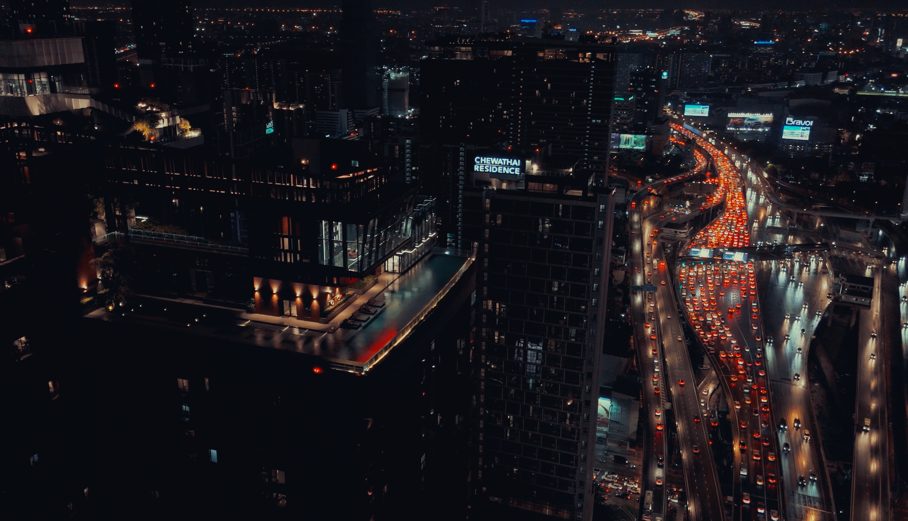
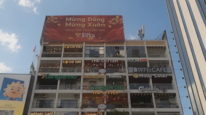
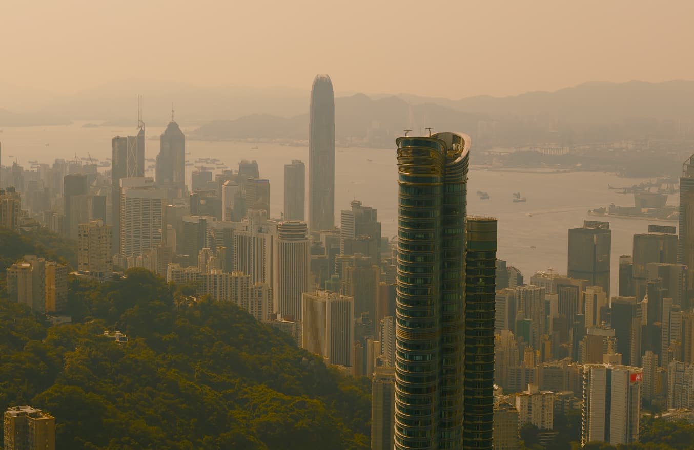
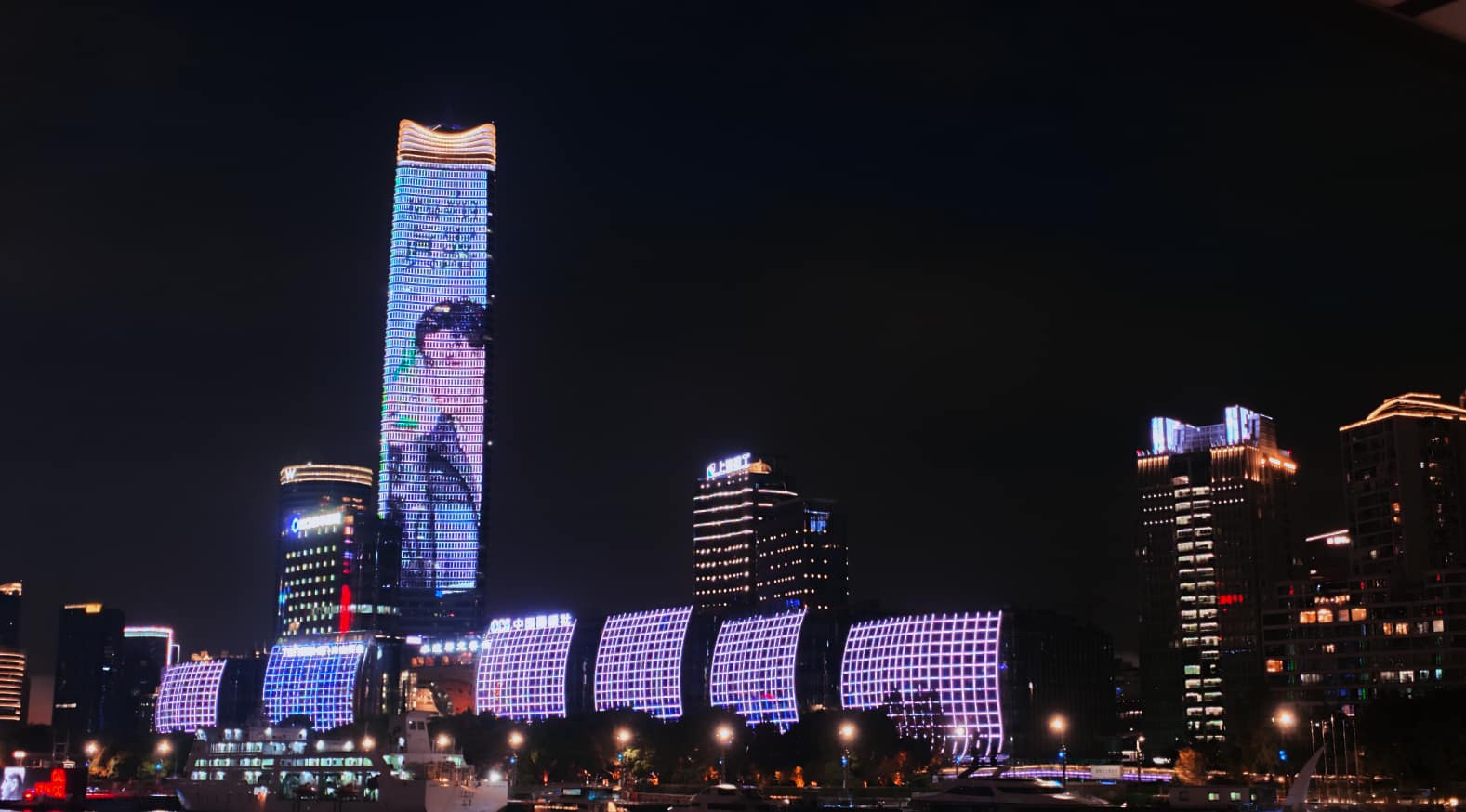
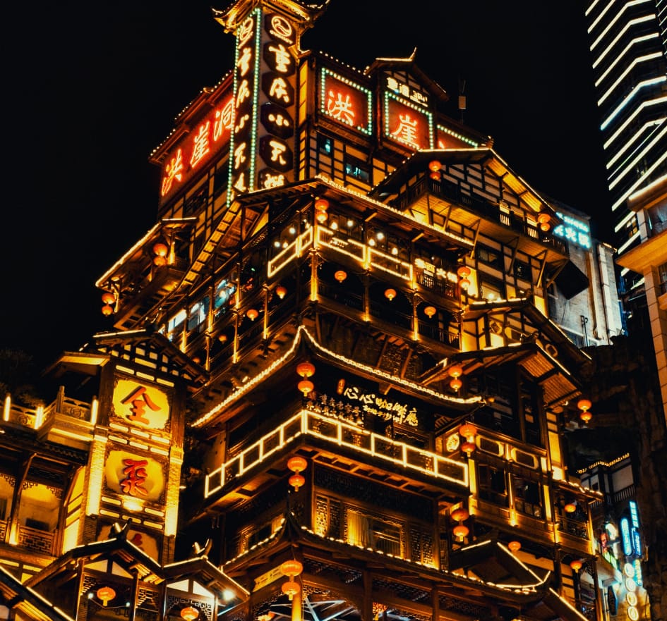

Map data © OpenStreetMap contributors · Elevation: SRTM (NASA)
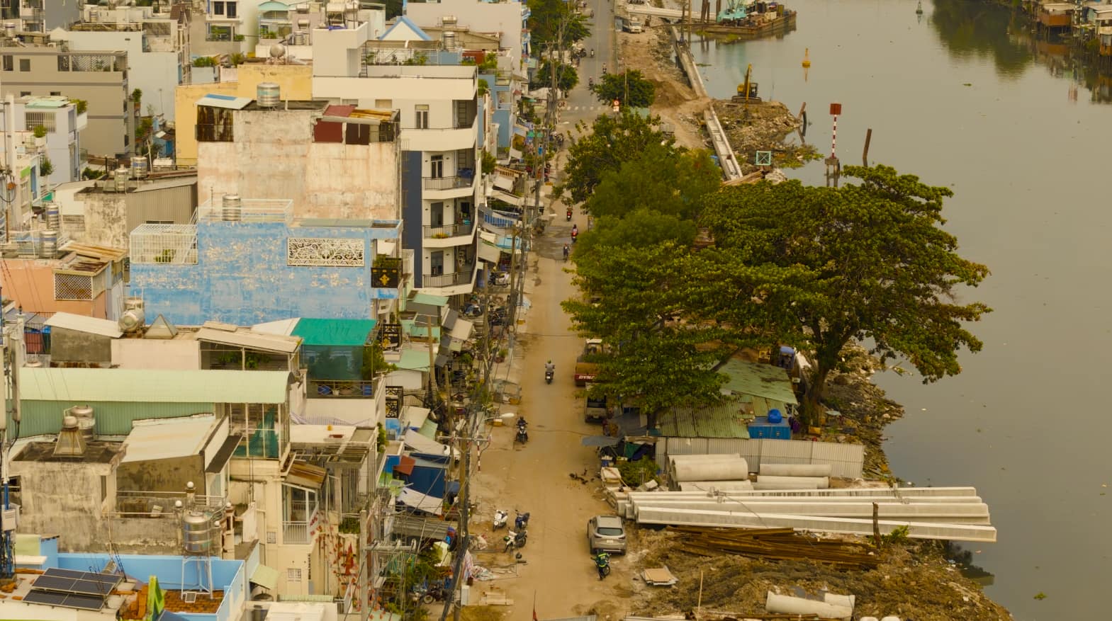
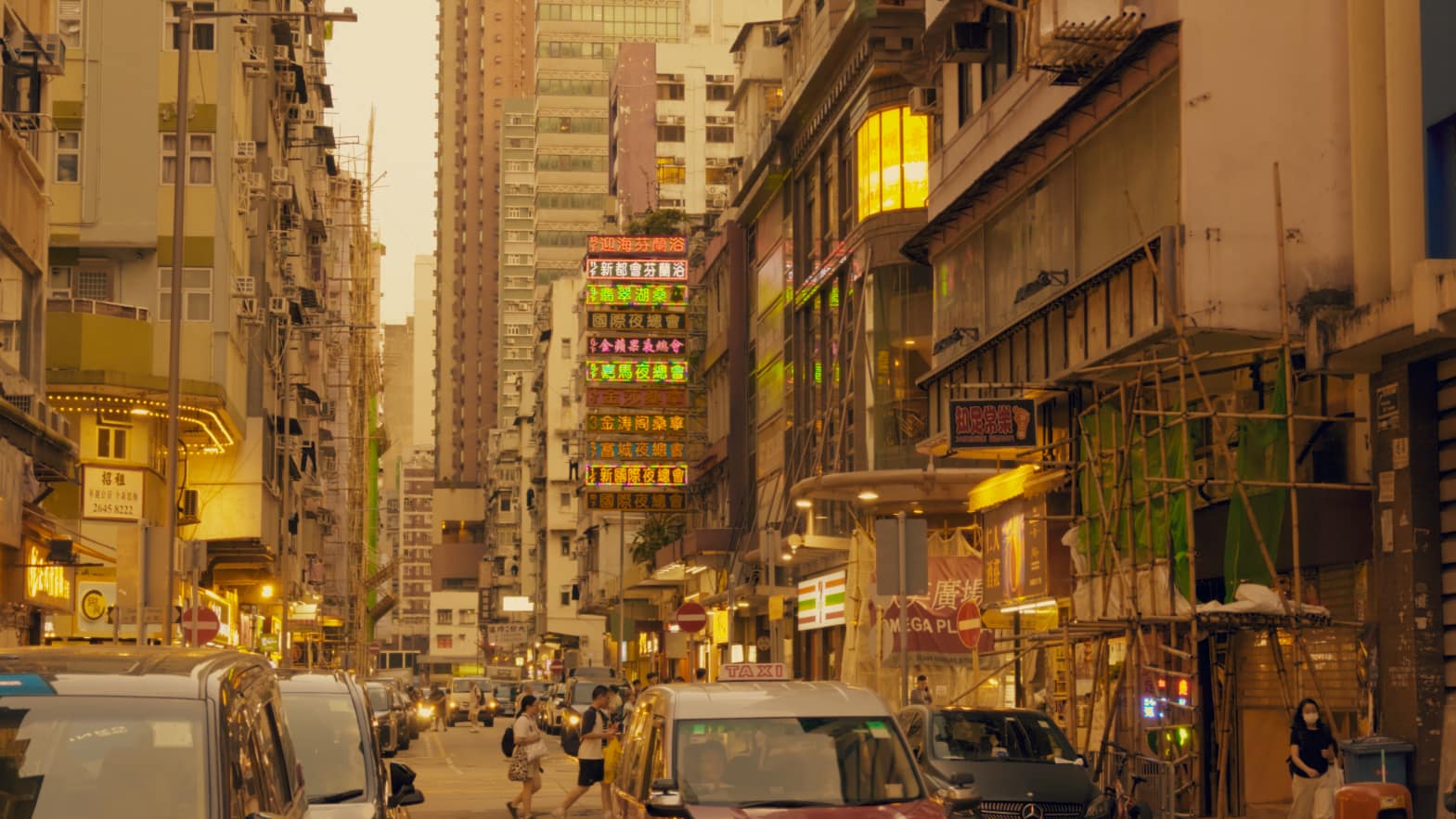
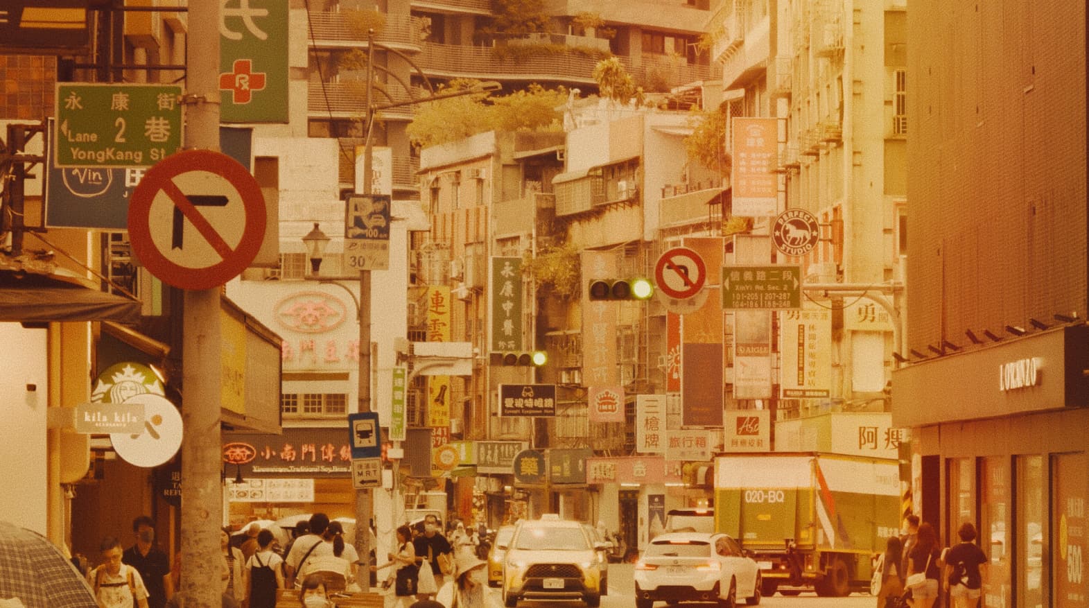
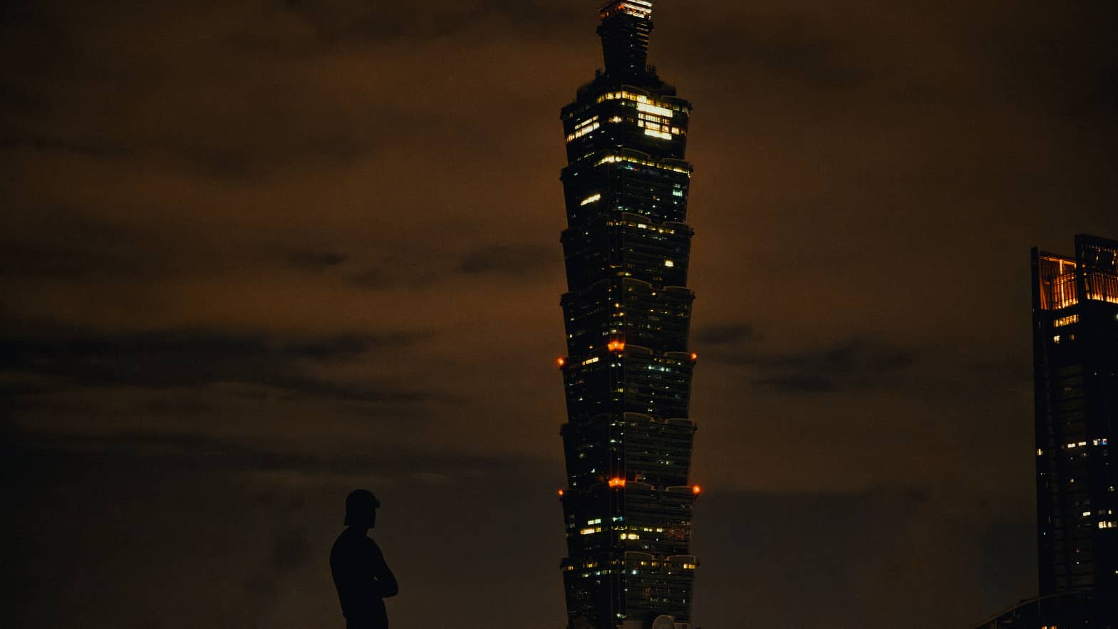
Films, documentaries and photography I've made around the world — arranged by where I made them.
05 — More workMy work around the worldChoose a region — or the documentary — to see the films and photographs made there.
Available for films, commissions and collaborations.